1
2
3
4
5
6
7
8
9
10
11
12
13
14
15
16
17
18
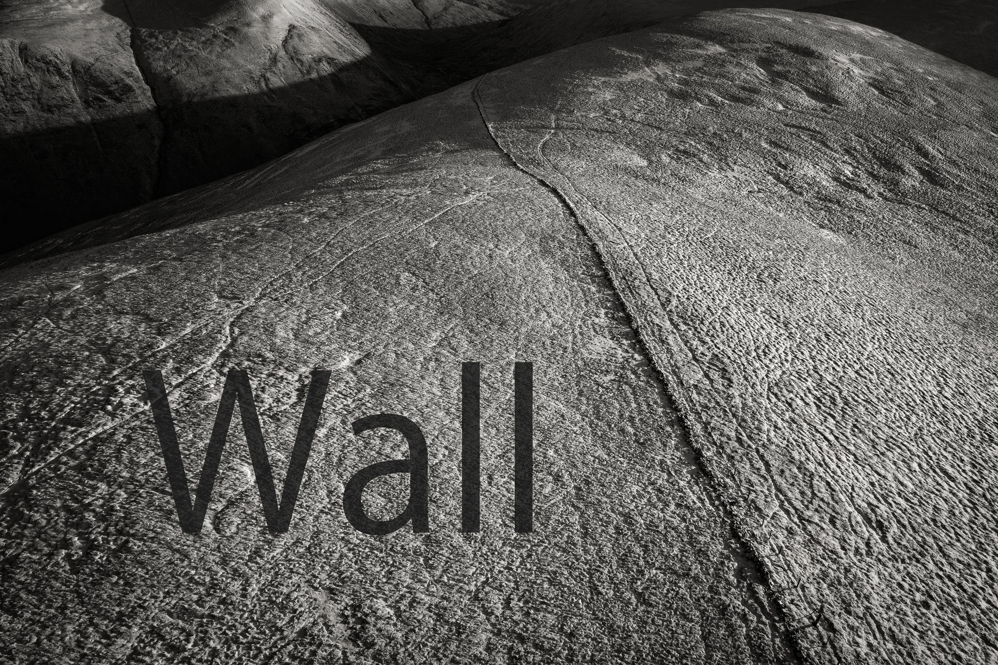


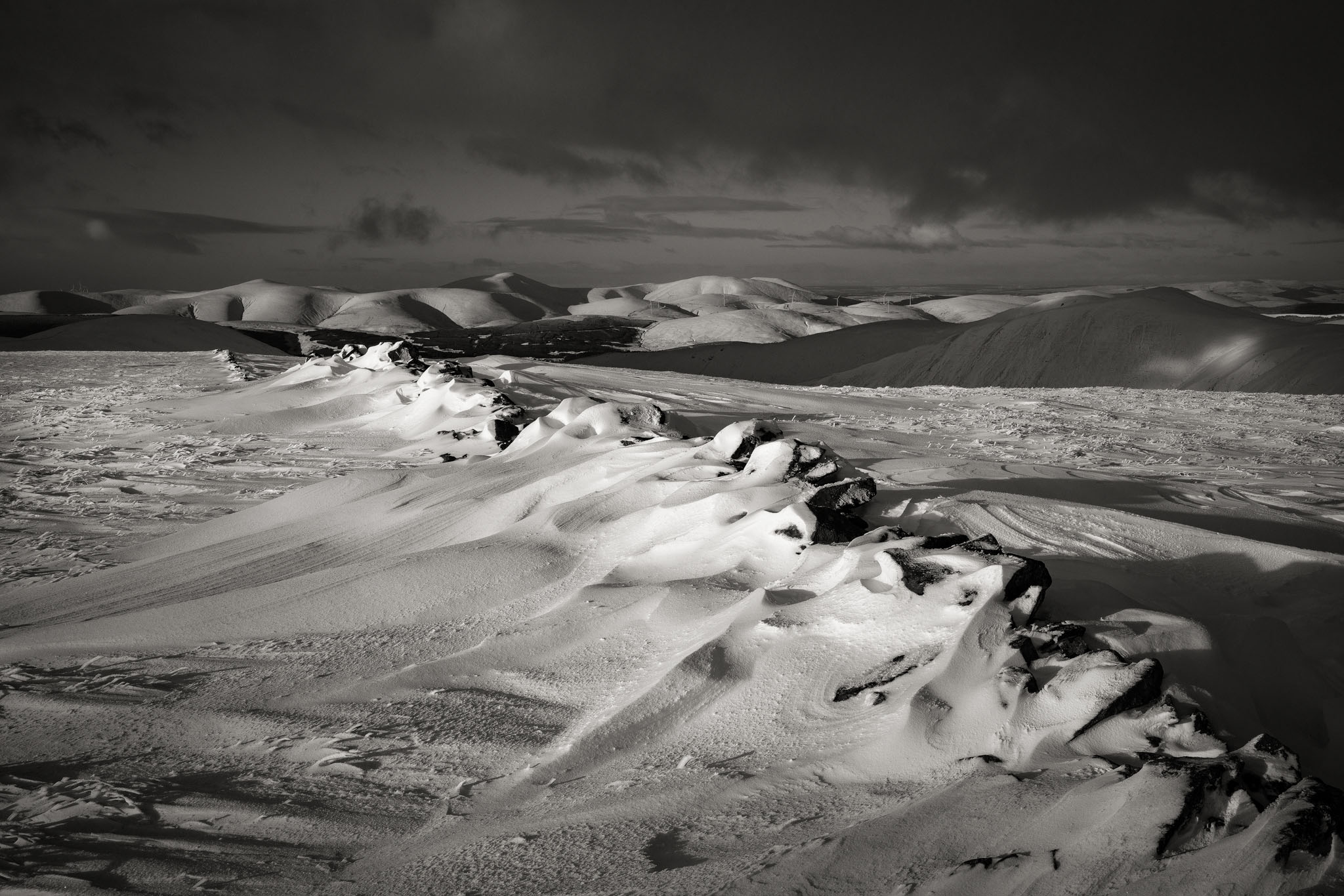
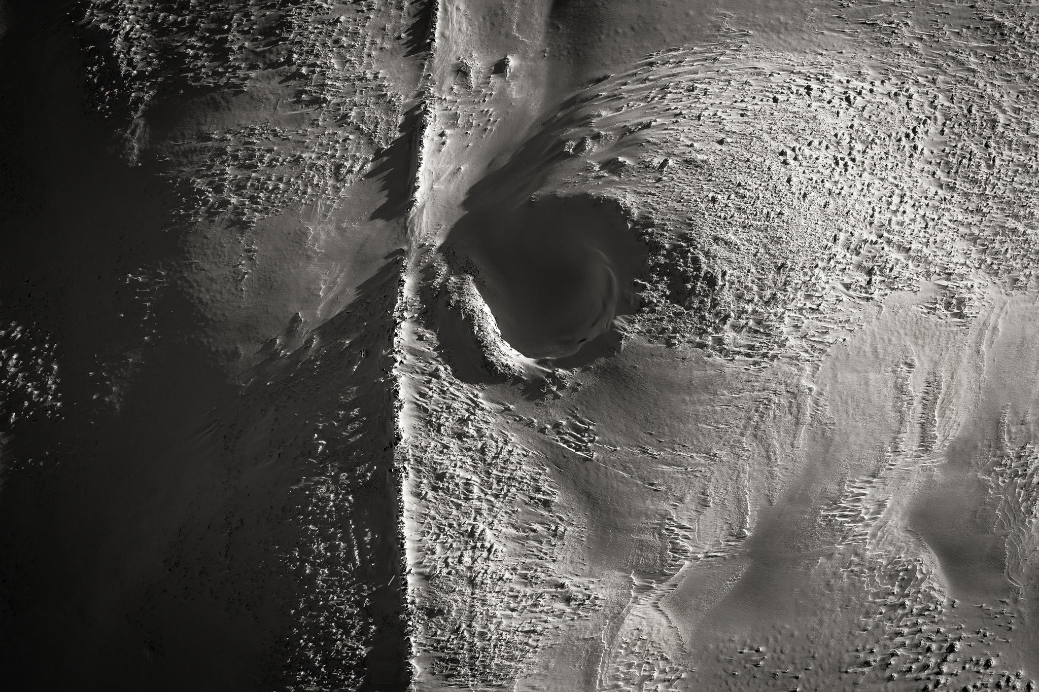
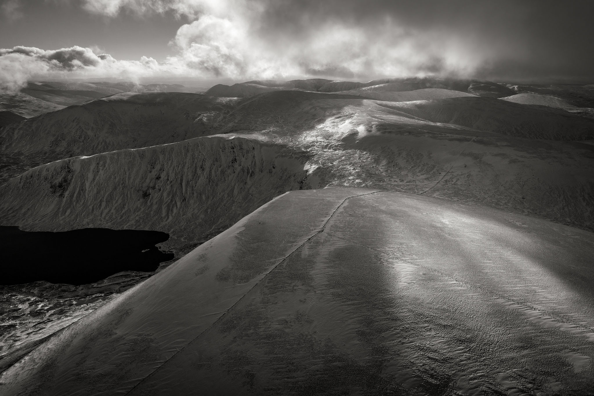




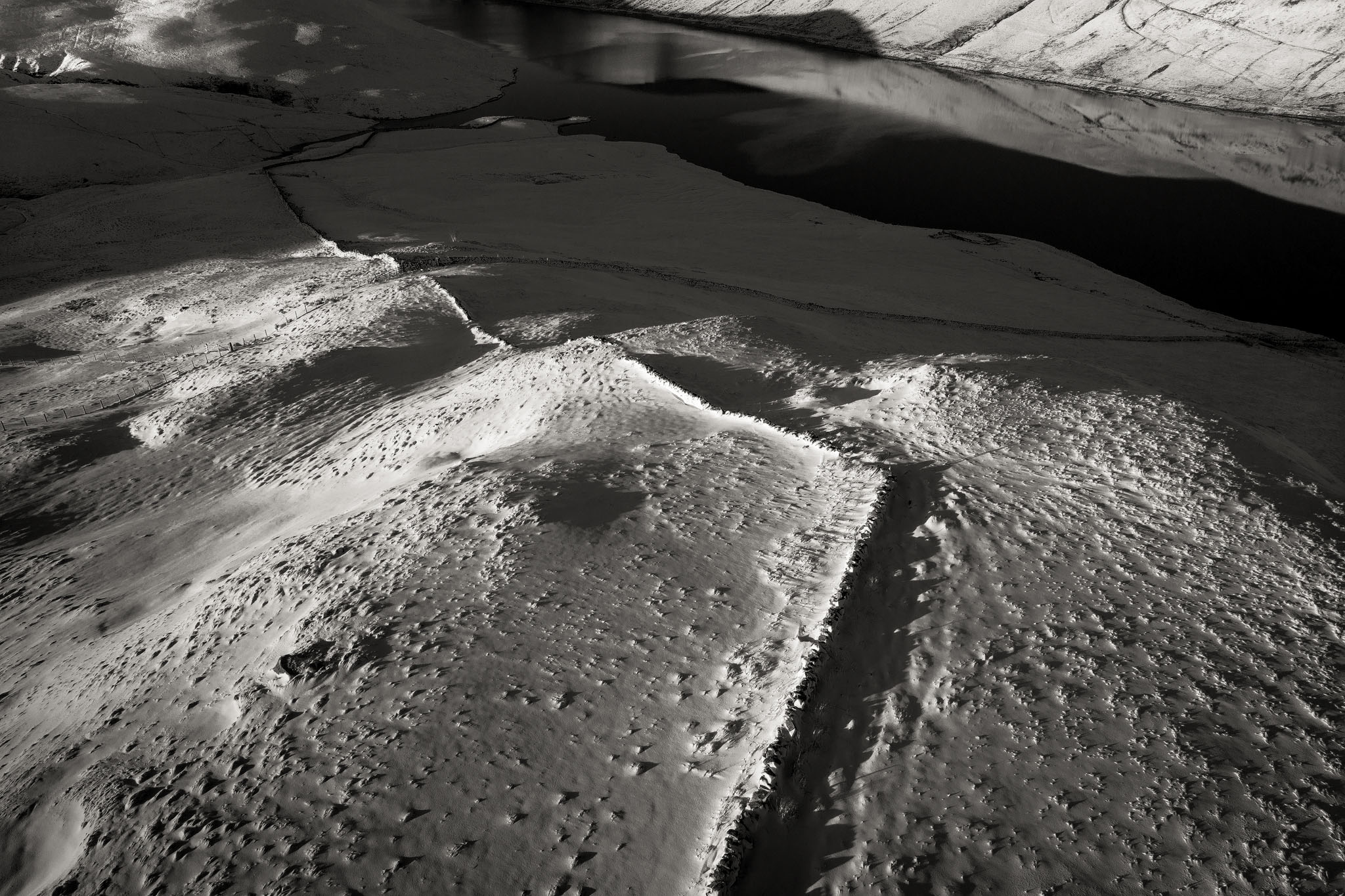
Wall
Location: Southern Uplands of Scotland.
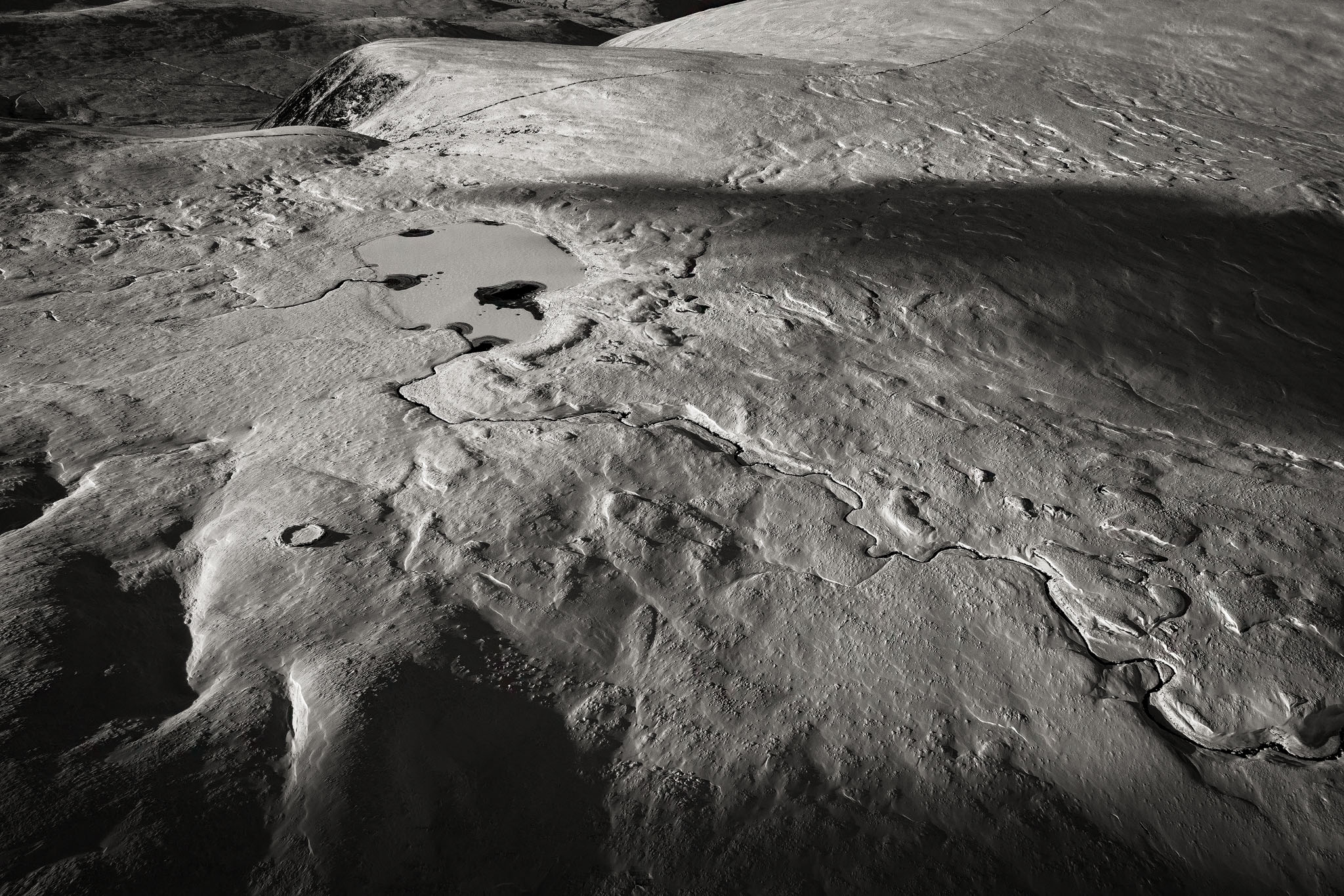
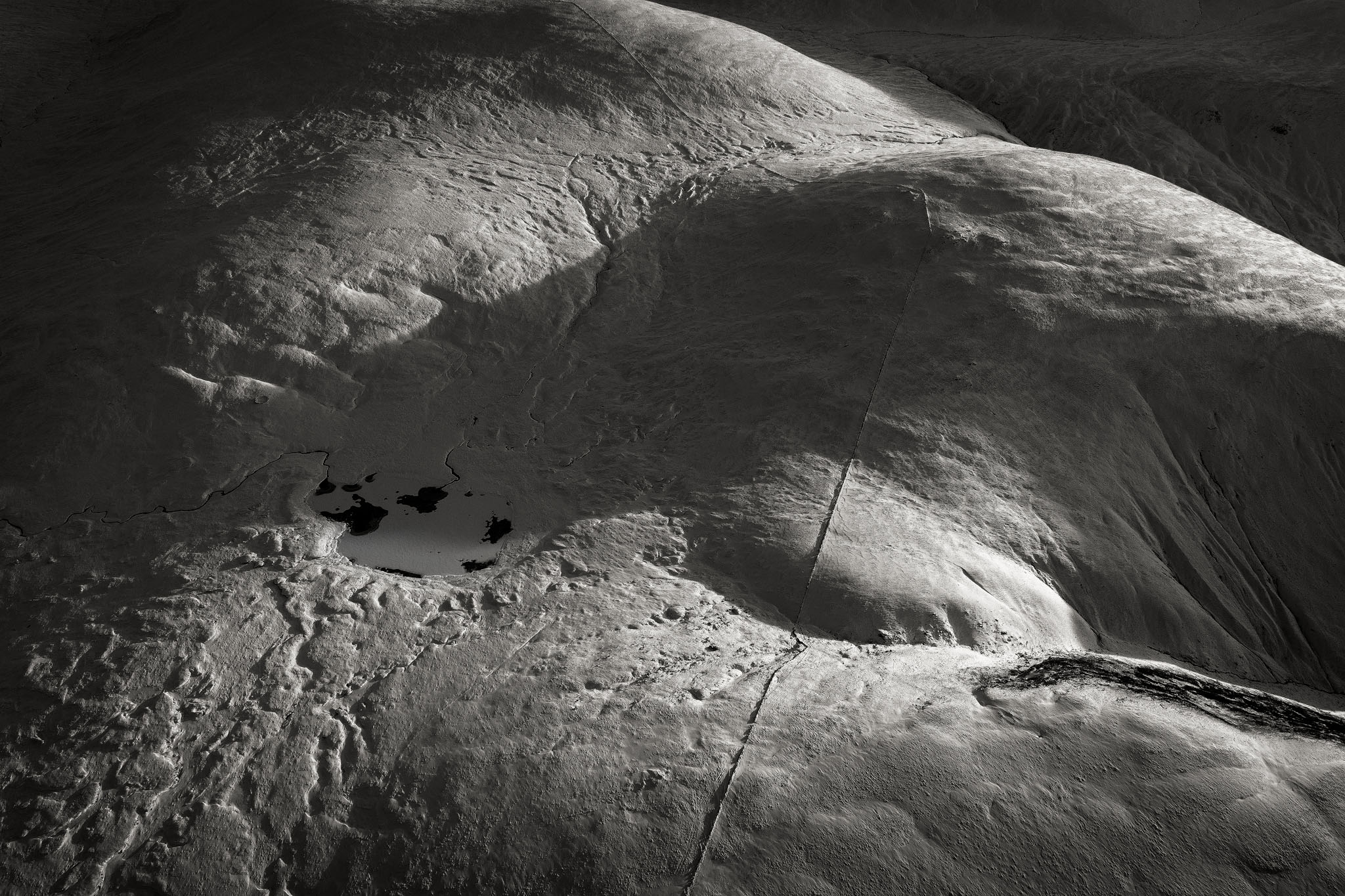
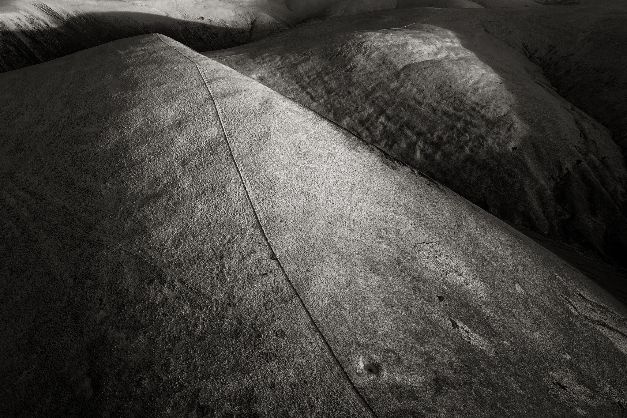
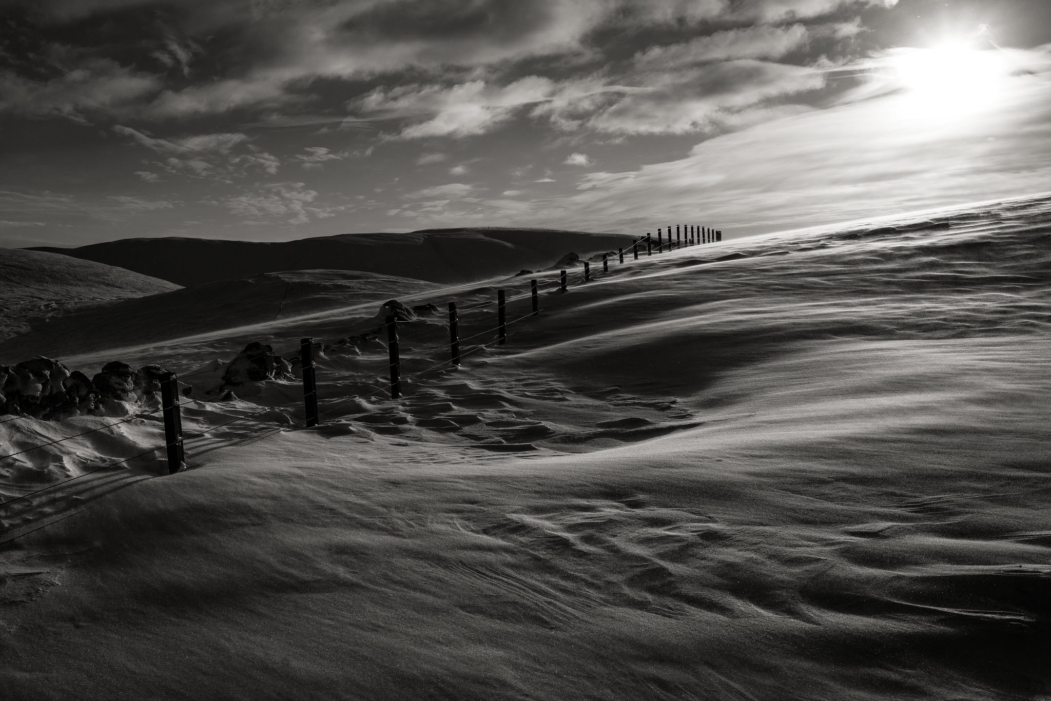
Dating from the early 19th century, the wall was constructed using a dry stone method, from whinstone quarried along the route. Although the specific purpose is not known, the wall was probably conceived as a march dyke built to delineate ancient boundaries. The wall has no curves, navigating in a series of angular zigzags, it has three offshoots which stretch across expansive hills into adjacent glens. The height rarely falls below the 650 - 700 metre contour in its 25 mile journey and passes no buildings or roads. Due to the severe weather conditions prevalent in upland Scotland, it is now in a state of dilapidation and has almost disappeared in several places. Nowadays it is used only as a navigational aid by hill shepherds and a few adventurous hikers.